|
|
|
|
|
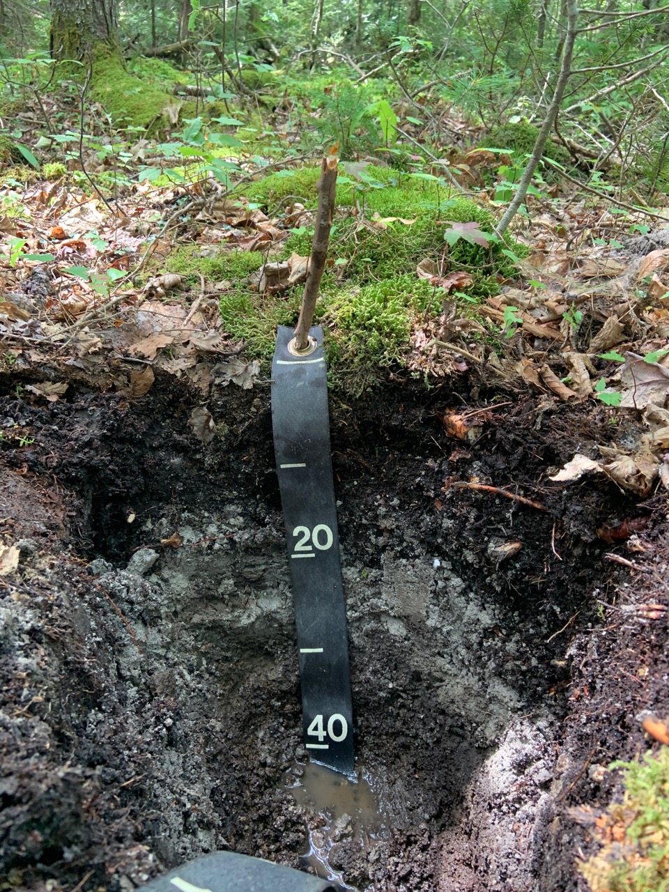
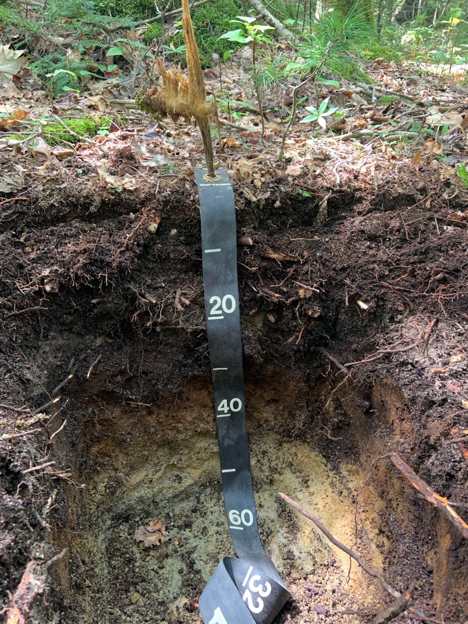
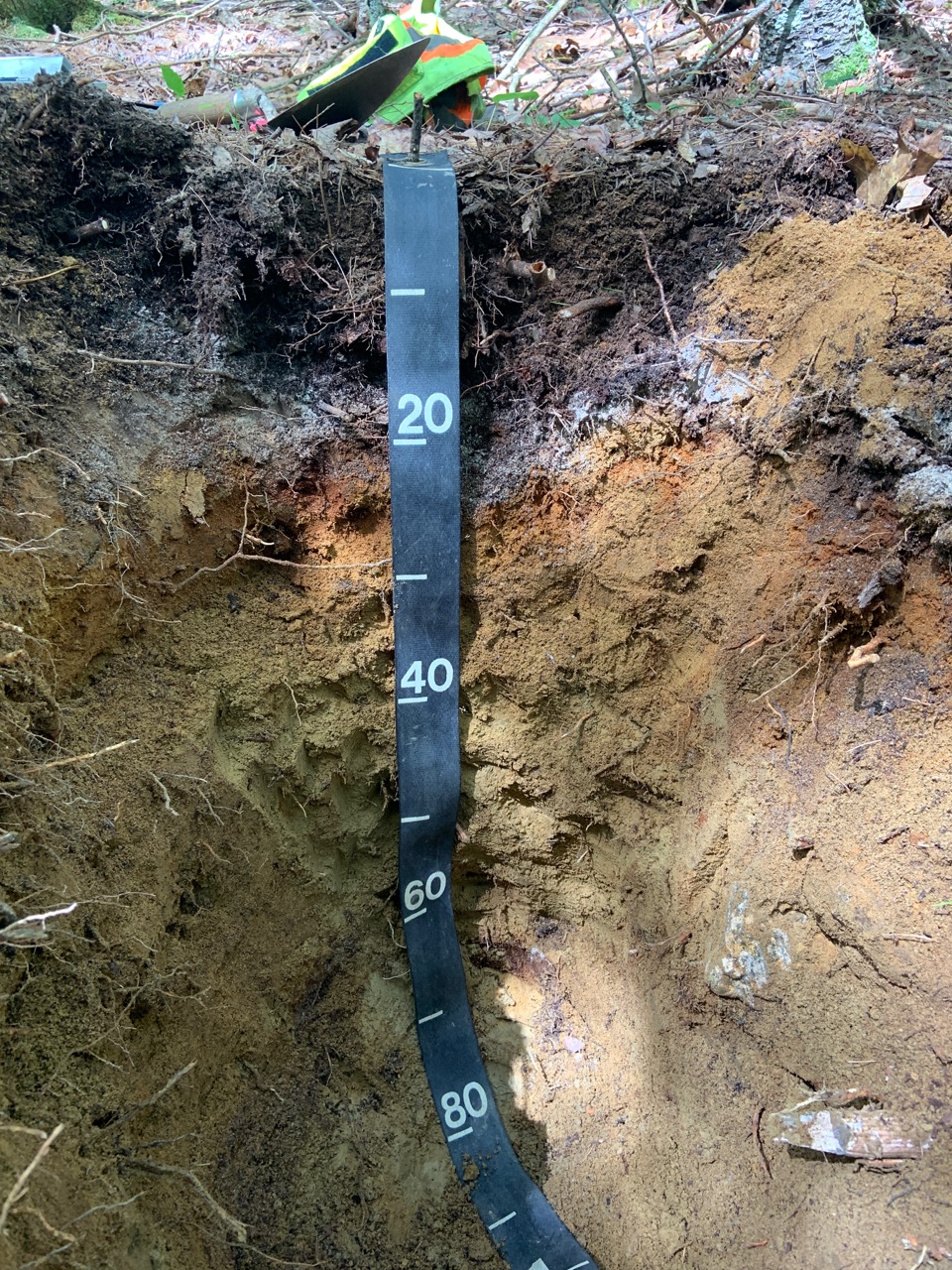
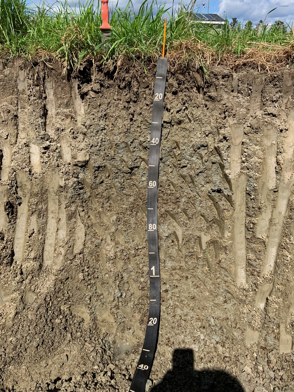
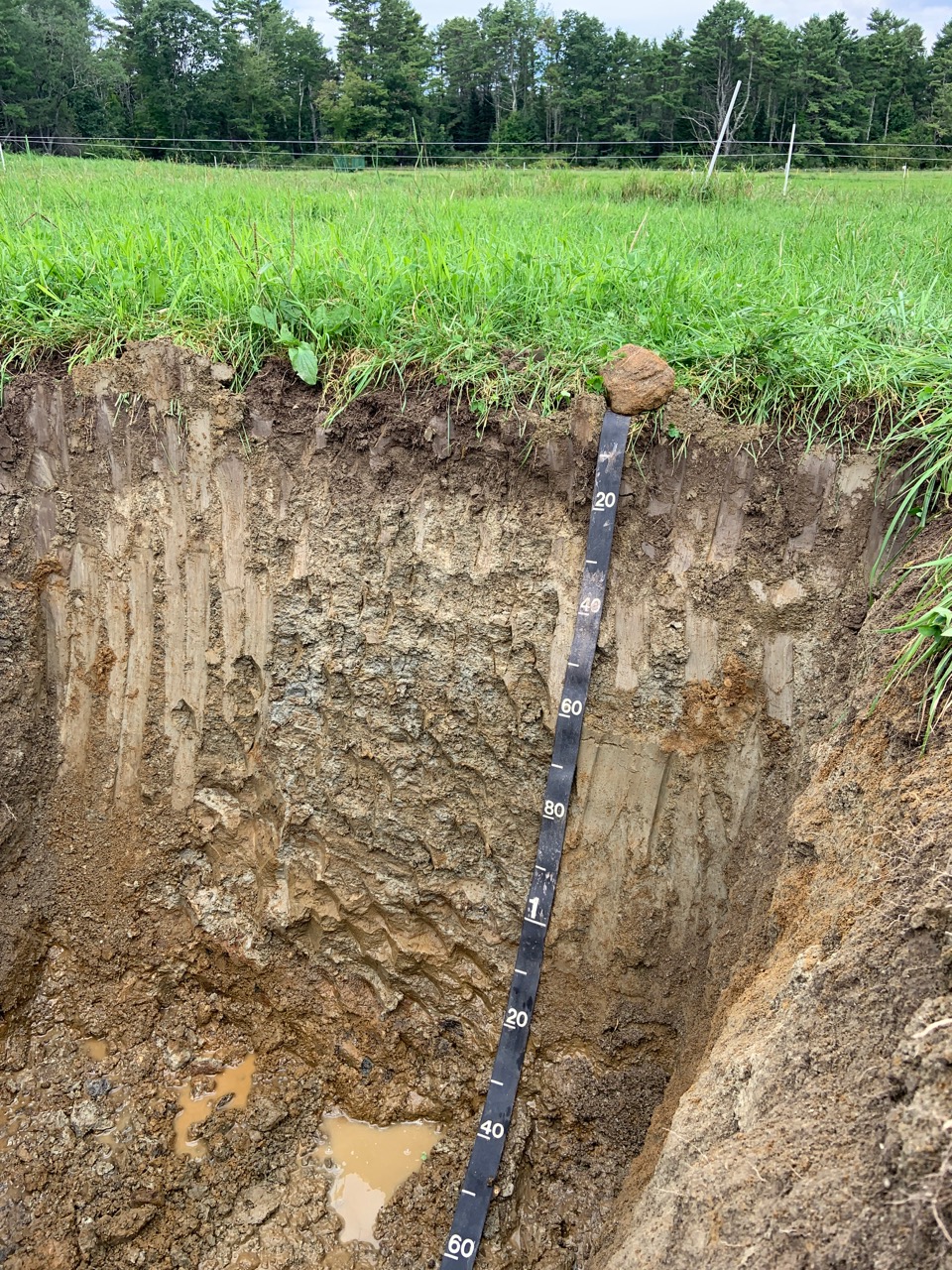
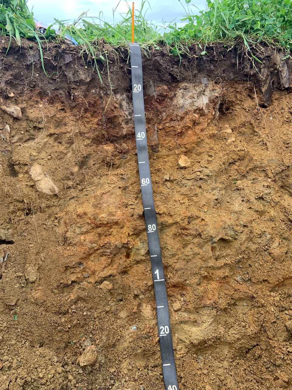
Welcome PAGE UPDATED ON April 2, 2024 Announcements - In Reverse Chronological Order The MAPSS March 21, 2024 Annual Meeting minutes are posted here. They will be subject to member approval at the 2025 Annual Meeting. Save the date The joint MAWS - MAPSS Annual Meeting is scheduled: The Lay of the Land Winter, 2024 newsletter edition is now available on-line. Link to it here. The Keys to Soil Taxonomy, 13th Edition, is now available in hard copy at the NRCS Distribution Center. There is a limit of one per customer. If there is a need for more than one copy, please email Debbie Surabian the number of hard copies needed along with the name and address of where to ship the hard copies. The Keys to Soil Taxonomy provides the taxonomic keys necessary for the classification of soils in a form that can be used easily in the field. It also acquaints users of soil taxonomy with recent changes in the classification system. The 13th edition incorporates the amendments approved by the regional and national conferences of the National Cooperative Soil Survey since the publication of the last edition of the Keys in 2014. The Keys to Soil Taxonomy authors are identified as the “Soil Survey Staff.” This term is meant to include all of the soil classifiers in the National Cooperative Soil Survey program and the international community who have significantly contributed to improving the taxonomic system.Contact. Direct questions to Debbie Surabian, National Leader for Standards, at Debbie.Surabian@usda.gov. The School of Food and Agriculture at the University of Maine seeks applicants for a full-time, academic-year, tenure-track, Assistant Professor position in the program area of Soil Science. Complete details are here. Here is the field conference site map and list of observations & determinations to be made at each site. Please remember to REMOVE YOUR BOOTS when entering the Outdoor & Fitness Center. Once you park, all sites are easily within walking distance, so please DO NOT drive until the end of the day. The morning site visits will go rain or shine; we have lovely indoor facilities for lunch and the afternoon panel discussion. A full deli, bakery, coffee, and grocery store is located at The Market on the Pineland Campus. Showers are available in the mens and womens locker rooms. Please do not use the indoor basketball facility or public entrance to the Outdoor & Fitness Center. Follow all signs. Thanks!! The joint MAPSS and MAWS 2023 field conference took place at Pineland Farms in New Gloucester, on Wednesday, September 13th, 2023. Online registration is on the MAWS website; click on "EVENTS" then "UPCOMING EVENTS". There were a variety of payment methods, but you must, at the minimum, register on the MAWS website (i.e., a check can be brought to the morning registration desk). We provided a variety of soil test pits, from marine sediments, to glaciofluvial sands, to tills, and one or two challenging colluviated soil test pits on a hillside. In addition, attendees examined challenging protected natural resources, such as Potential Vernal Pools, stream / not a stream determinations, wet meadow wetlands, and more. CEUs were awarded at the conclusion of the day. The lunch and afternoon panel discussion took place at the former YMCA on the Pineland Campus, now the Outdoor Center "Lodge". Comprehensive agenda and associated information is located here. The winter, 2023 edition of The Lay of the Land is ready for reading. The MAWS/MAPSS Joint 2023 Annual Winter Conference and Meeting to be held at UMaine Augusta on 3/21/2023. Agenda and registration information can be downloaded here The summer, 2022 edition of The Lay of the Land is now online. The MAPSS - MAWS associations, together with Wolfe's Neck Farm & Center and Wolfe's Neck State Park, in Freeport, Maine, held on Wednesday, September 7th, 2022 the 2022 Natural Resources Field Workshop. We worked with the farm and State Park to locate new areas of interest to natural resource professionals, regulators, and others. The registration information is now on-line. The registration site is an on-line aerial image. The field conference NRPA and related definitions are on-line. Here is the aerial map for the field conference sites and parking area. The Winter Edition of The Lay of the Land with association updates and news. The updated 2022 electronic "Janet Engle Cormier Scholarship Application" is downloadable from the Scholarship link. The link in the left navigation pane "REGULATORY/SOILS links" features a reorganized and prioritized list of the most commonly accessed soil databases and methodologies, such as Web Soil Survey, HSG methodology, OSD link, Version 4.0 of the Field Indicators, Field Book for describing soils, and others in descending order or access. Wolfe's Neck Center has a blog on the MAPSS Field Workshop held on September 8th. The Wolfe's Neck State Park and Wolfe's Neck Center & Farm pedon descriptions and HSG worksheet can be downloaded.
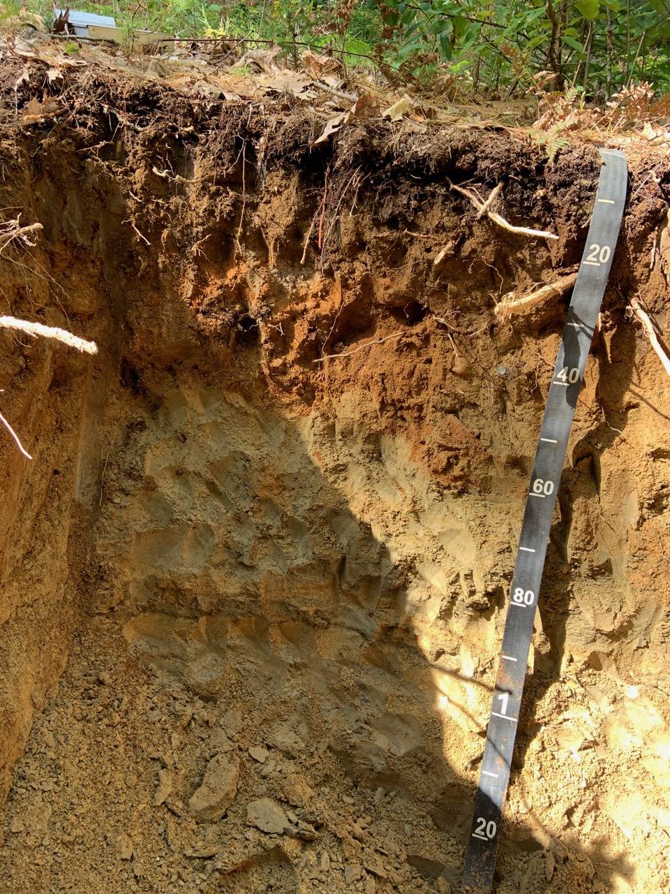
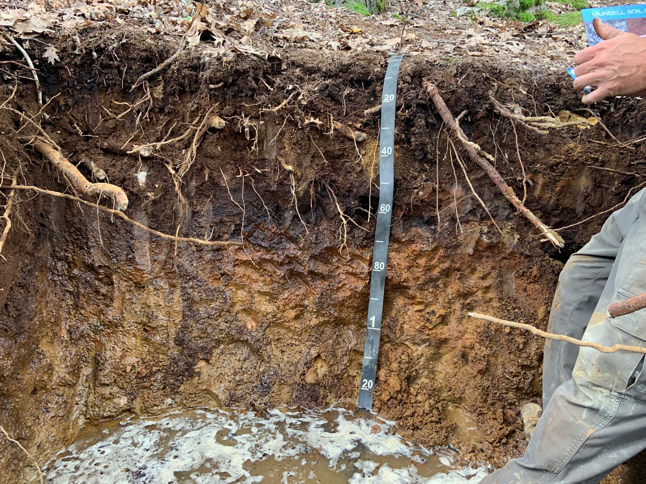
The field workshop on Wednesday, September 8th, 2021 at Wolfe Neck Center and Wolfe Neck Woods State Park, in Freeport, Maine WAS HELD.
The focus will be on landscape geomorphology, soil morphology, understanding parent materials, and a special focus on Human Altered /
Human Transported materials (formerly Udorthents), as well as challenging hydric soil determinations and descriptions.
Excavator dug soil pits will be available as well as hand dug soil pits. A special emphasis will be placed on HSG determination for Storm Water law design and permitting. Another topic at one area will be
how to proceed at a site when the hydric soils extend beyond the delineated wetland boundary. The summer 2021 Lay of the Land newsletter is available here. The 2021 MAPSS Annual Meeting minutes will be voted on for approval in 2022. The updated 2020 Treasurer's report can be reviewed. An abbreviated MAPSS 2021 Annual Meeting was held via Zoom on Thursday, March 25th from 3:00 to 4:30 pm. A quorum of full members was present (at least 18 full members) and voted on scholarship and Envirothon donations and other association business. Please review the Agenda. The Envirothon request for 2021 can be read here. The Executive Committee slate of officers (although nominations are open up until the vote): PROPOSED SLATE for 2021
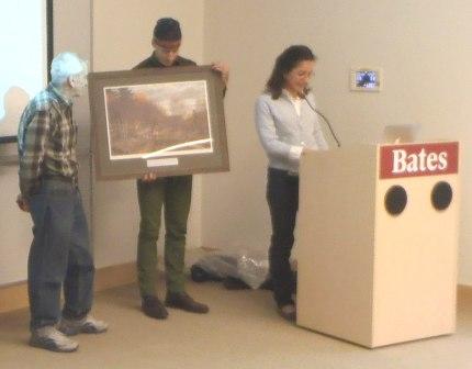
Please review the 2020 Treasurer's report. The membership will be asked to approve this. February 9th, 2021 Executive Committee Zoom meeting minutes. Please download and carefully read through. Wetland scientist position open and Newsletter editor sought. The Lay of the Land biannual newsletter is seeking an editor. Editorial tasks include soliciting articles affecting MAPSS, events in northern New England related to soils, and other relevant soil related news. The second task is compiling the newsletter; past issues have used MS Word and converted to a PDF for electronic distribution to the membership and affiliated organizations. If interested, please contact MAPSS President Christopher Dorion . Recognizing Dave Rocque accepting his award at our annual meeting on Thursday, March 24th, 2016 at Bates College, in Lewiston.
You will be pleased to learn that the Maine Legislature passed a Joint Resolution Recognizing The Importance Of Soils To Maine’s Future Prosperity on March, 16th! A new link has been added to the left navigation pane: "Current Issues Before MAPSS". This link addresses continuing efforts by MAPSS on several fronts related to regulatory, scientific, or of long term interests to members of the soil science community. Please use the link in the left navigation window "Past Events & Workshops - RESULTS (Write-ups, Comments, and Photos Albums are HERE)" to access MAPSS' archives of past workshops, meetings, and conferences. |
|
© 2005 MAPSS, All rights reserved. Contact: info@mapss.org
[ Site Developed by Kenbrio ] |