|
|
|
|
|
HYDRIC SANDY SOILS WORKSHOP II, August 16th, 2006 
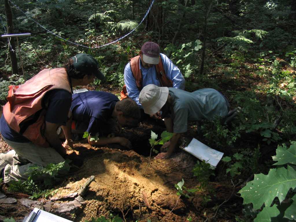
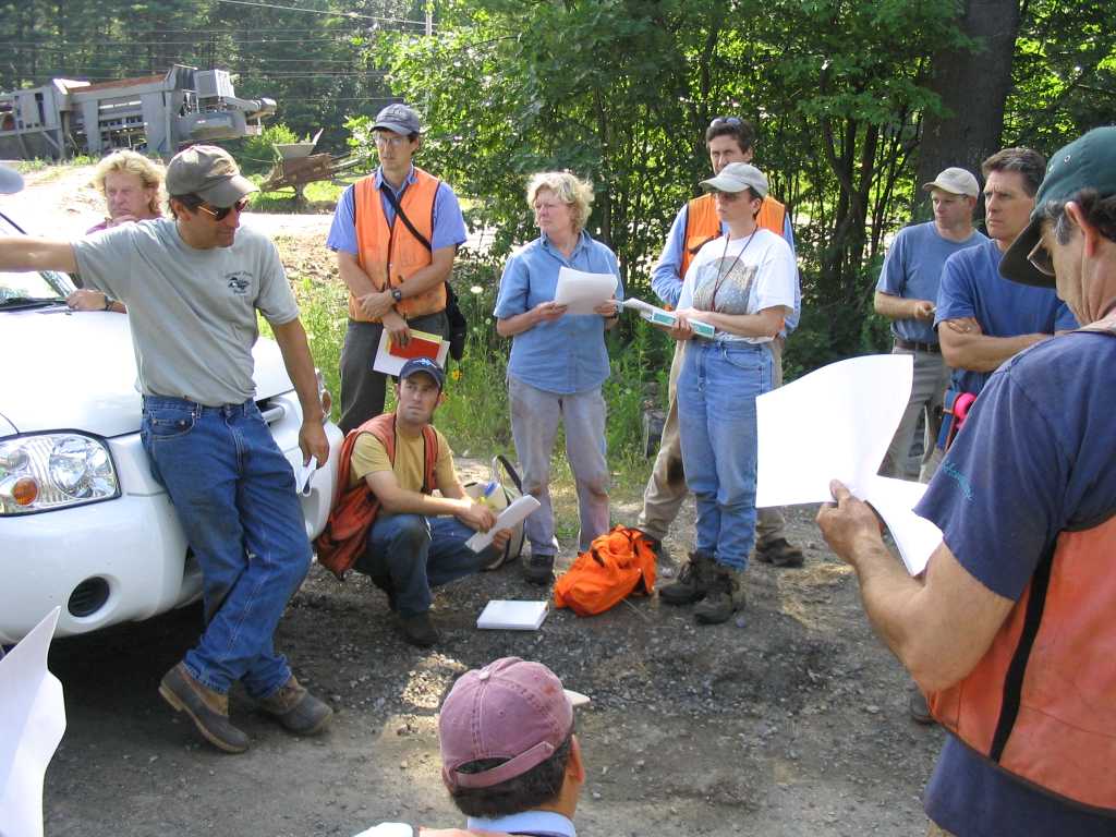
Registration Form MAPSS will again host this important workshop on spodosols developed in sandy parent material and various drainage classes. Please review the brief write-up and accompanying photos below as we plan to re-visit portions of this site in Scarborough this year. Excerpted Write-up for the July 29th, 2004: MAPSS HYDRIC SANDY SOILS WORKSHOP I Here are a few thoughts from the July 29th, 2004 MAPSS workshop. There were additional soil pits that were visited but are not described here. The only soil pit I could get some sun on was Site B and I believe Station 4. You can see the 4 inch thick Oi and Oe, underlain by the 3 inch thick E, which in turn is underlain by a thick Bhsm, extending down to free water at 24 inches. Alternatively, the thick Bhsm could be broken into Bhsm1, Bhsm2, etc., which would reflect the 5YR 3/3 and 2.5YR 2.5/2 horizons. However, the horizons were generally not continuous around the circumference of the soil pit, so we had some lively discussion about this.
Suggested reading on wet spodosols (Aquods):
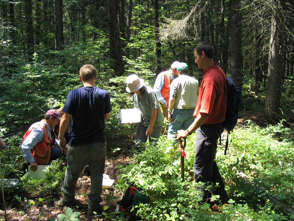
Our group of myself, Don Phillips, Dave Marceau, and Mike Cuomo keyed it out as hydric under IX.B. We didnít look at the E horizons for ìstripped matrixî or ìredox featuresî because the E was thin (3 inches) and the stripping I claimed to see was most likely organic matter brought into the horizon by animals, tree roots, cryoturbation, etc., and not by wetness (so we decided). So, the Bhsm1 was 4 inches thick, and directly underlain by the Bhsm2. The cementation of this second horizon was interpreted to be a series of nodules which are defined in the glossary as redox features, and there were certainly more than 2 percent, so it made IX.B. Overall, we didnít use E horizons at all due to their thinness and ambiguity in ìstripped matrixî or redox features. Most of the wet pits keyed out to IX.B with the exception of the histosol in the vernal pool. I was fortunate in 2001 to participate in the Northeast Pedology fieldtrip which visited wet spodosols in Delaware and New Jersey, chiefly in the sandy coastal plain physiographic region. Similar situation with E horizons, we saw ìmottlesî but they were organic in origin. Some of the Aquods we saw were in long, backhoe-dug pits and the Bhsm, Bhm, and Bsm ìhorizonsî were actually large (~10 by 15 inches in area) masses that were oriented every which way, and discontinuous, similar to Site B Station 4. All of these pits had to be pumped, and therefore I think the hydrology may be a really good indicator. Our MAPSS workshop was the end of July, and we are 5 inches below normal in precipitation for the year, and there was water in the pits, so I would suspect a piezometer would show water at the surface for several months during the growing season at 20 inches. As usual, I learned some new concepts with regard to Version 3 and spodosols in general. We had more lively discussion in the car all the way back to Bangor. The following 4 photos show the general setting of the site: A-slope, a mix of FACU, FAC, and FACW species growing on VPD, PD, SPD, and MWD soils, and a host of both non-hydric and hydric spodosols. 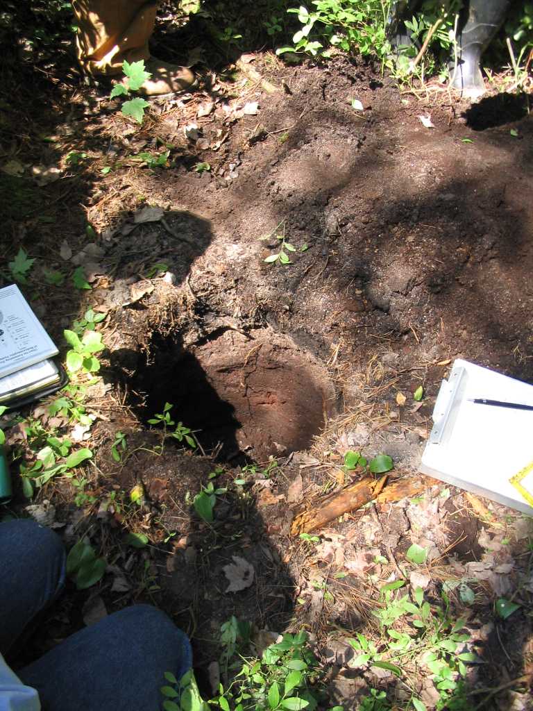
If any members have more photos or discussion to add, please E-mail below.
|